Border Security UAV Systems: Deployment Architecture, Sensor Integration, and Operational Best Practices
Effective border security requires more than deploying a drone — it demands a coherent system architecture integrating aerial platforms, ground sensors, command infrastructure, and response protocols. This guide examines proven deployment models for land and maritime border environments.
Beyond the Platform: Border Security as a System Architecture Problem
Border security agencies evaluating UAV procurement frequently focus on platform specifications — endurance, payload capacity, sensor resolution. These are necessary considerations, but they address only one component of an effective border security system. The operational value of any UAV platform is determined by how it integrates into a broader architecture of sensors, communications, command infrastructure, and response protocols.
This guide examines the architectural principles and operational best practices that determine whether a UAV-based border security system delivers actionable intelligence or merely generates data.
System Architecture: The Four Layers
An effective UAV-based border security system comprises four interdependent layers:
Layer 1: Persistent Aerial Surveillance
Long-endurance VTOL fixed-wing platforms provide the wide-area surveillance coverage that forms the foundation of border monitoring. Key architectural requirements:
- Coverage calculation: A single 30kg-class platform with EO/IR payload can effectively monitor approximately 50–80km of border at 3,000m altitude with 30° sensor field of view
- Overlap planning: Adjacent patrol sectors should overlap by 10–15% to eliminate coverage gaps during platform transitions
- Altitude selection: Higher altitude increases coverage area but reduces target resolution; 2,500–4,000m represents the optimal trade-off for most EO/IR payloads
- Endurance margin: Operational planning should use 80% of rated endurance to maintain fuel reserve for weather deviations
Layer 2: Fixed Ground Sensor Network
UAV patrols cannot maintain 100% coverage continuously — platform transitions, maintenance cycles, and weather create gaps. A complementary fixed sensor network fills these gaps:
- Radar ground sensors: Detect moving targets (personnel, vehicles) at 3–8km range, cueing UAV response
- Seismic sensors: Detect ground vibration from foot traffic and vehicles in areas inaccessible to radar
- Camera towers: Provide persistent visual coverage of high-priority crossing points
- Integration requirement: Fixed sensors must feed into the same common operating picture as UAV feeds
Layer 3: Command and Communications Infrastructure
The SG GCS provides the command layer for multi-platform coordination, but effective border security requires additional communications infrastructure:
- Datalink range: Standard C-band datalinks provide 50–80km range; satellite relay extends this to global coverage for remote border areas
- Redundant communications: Primary and backup datalinks prevent single-point-of-failure communications outages
- Encrypted feeds: All video and telemetry must be encrypted to prevent adversary interception and spoofing
- Integration with national systems: UAV feeds should integrate with national border management systems for unified situational awareness
Layer 4: Response Protocols and Force Integration
Aerial surveillance generates intelligence; response protocols convert intelligence into interdiction. Key requirements:
- Alert thresholds: Define specific sensor triggers that generate alerts — not all detections require response
- Response time standards: Establish maximum acceptable response times from detection to ground unit arrival
- UAV-ground coordination: Establish procedures for UAV platforms to guide ground response units to target locations
- Escalation protocols: Define when aerial observation transitions to kinetic response
Land Border Deployment Model
For land border environments, the recommended deployment architecture is a layered patrol system with three concentric zones:
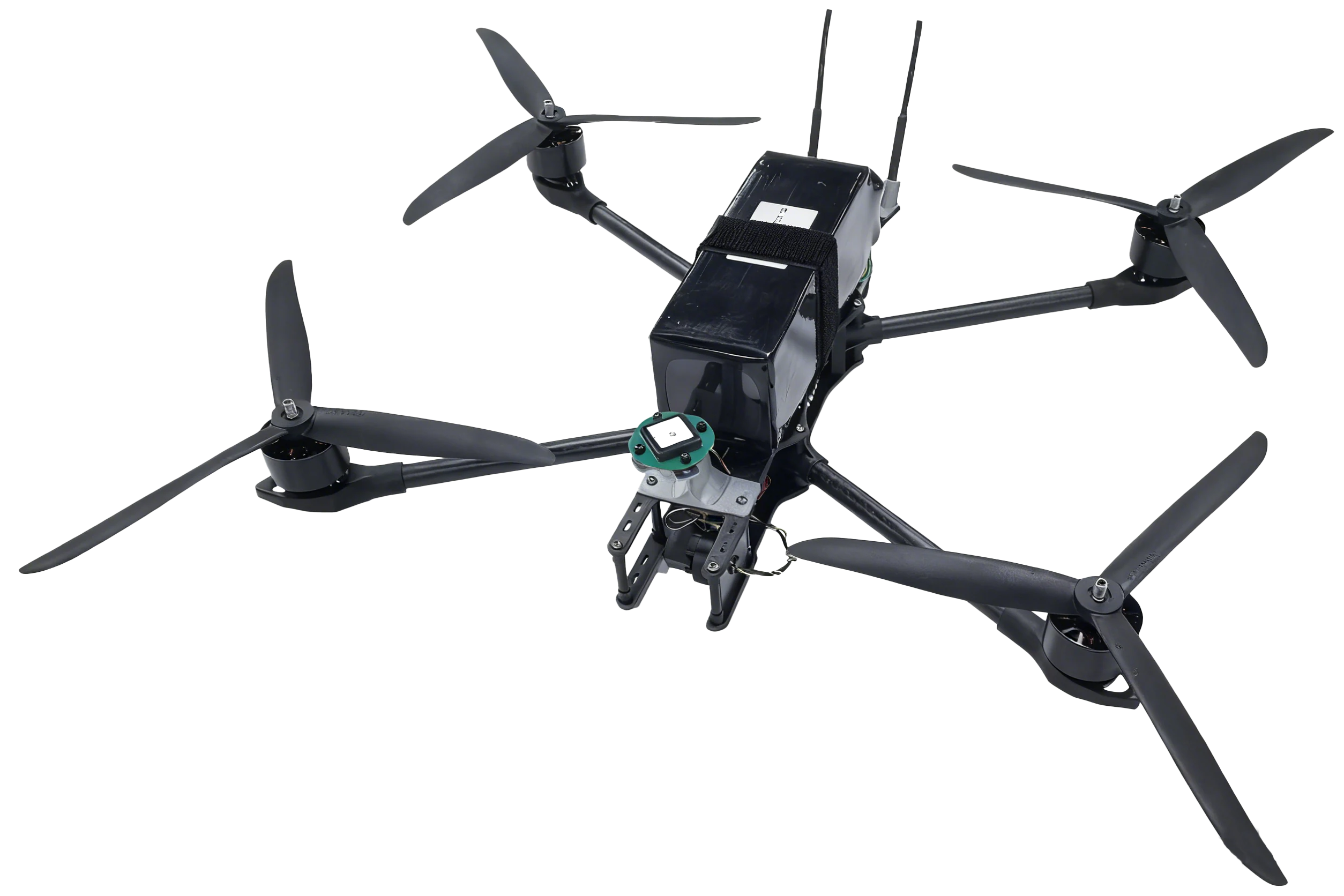
Zone 1 — Deep Surveillance (50–150km from border): Long-endurance platforms (150kg-class) conduct wide-area monitoring, identifying staging areas, vehicle concentrations, and movement patterns before they reach the border. Zone 2 — Border Zone (0–50km): 30kg-class platforms conduct continuous patrol of the border line, providing real-time detection of crossing attempts. Zone 3 — Interior Response: Rapid-response platforms (SX30K) provide immediate aerial support to ground response units, maintaining visual contact with detected crossers.Maritime Border Deployment Model
Maritime border environments present distinct challenges: larger coverage areas, weather variability, and the need to distinguish legitimate maritime traffic from illegal activity.
Coverage area calculation: A single 150kg-class platform with SAR payload can monitor approximately 15,000km² of maritime area per sortie — equivalent to monitoring a 120km × 125km maritime zone. Vessel classification: SAR-GMTI mode detects and tracks all surface vessels; EO/IR confirmation identifies vessel type and activity. Coordination with maritime patrol vessels: UAV platforms provide advance intelligence to maritime patrol vessels, enabling interception of vessels of interest before they reach territorial waters. Weather resilience: SAR payloads maintain surveillance capability through the weather conditions (rain, fog, low cloud) that ground manned maritime patrol aircraft.Platform Selection by Border Environment
| Environment | Recommended Platform | Primary Sensor | Patrol Endurance |
|---|---|---|---|
| Desert land border | 30kg-class VTOL | EO/IR | 5 hours |
| Jungle land border | 150kg-class VTOL | SAR (L-band) + EO/IR | 7 hours |
| Coastal maritime | 150kg-class VTOL | SAR + EO/IR | 7 hours |
| Arctic/sub-Arctic | 150kg-class VTOL | SAR | 7 hours |
| Urban border crossing | SX30K | EO/IR | 3 hours |
| River border | 30kg-class VTOL | EO/IR | 5 hours |
Common Deployment Failures and How to Avoid Them
Failure 1: Coverage gaps from poor sector planning — Use GCS mission planning tools to calculate actual sensor coverage at operational altitude and ensure adjacent sectors overlap. Failure 2: Alert fatigue from unfiltered detections — Implement tiered alert thresholds; not every detection requires immediate response. Distinguish between confirmed crossings and potential contacts. Failure 3: Communications dead zones — Conduct pre-deployment datalink surveys to identify terrain-masked areas; position relay nodes or use satellite backup for dead zones. Failure 4: Insufficient operator training — Budget for a minimum of 40 hours of operator training before operational deployment; include sensor interpretation training, not just platform operation. Failure 5: Inadequate maintenance planning — Plan for 1 maintenance hour per 3 flight hours; ensure spare parts availability before deployment.Contact the Star United Flight Control systems integration team to discuss border security architecture design and platform selection for your specific border environment.