Aerial Mapping & Surveying
Capture repeatable geospatial data for terrain, construction, land and infrastructure planning workflows.
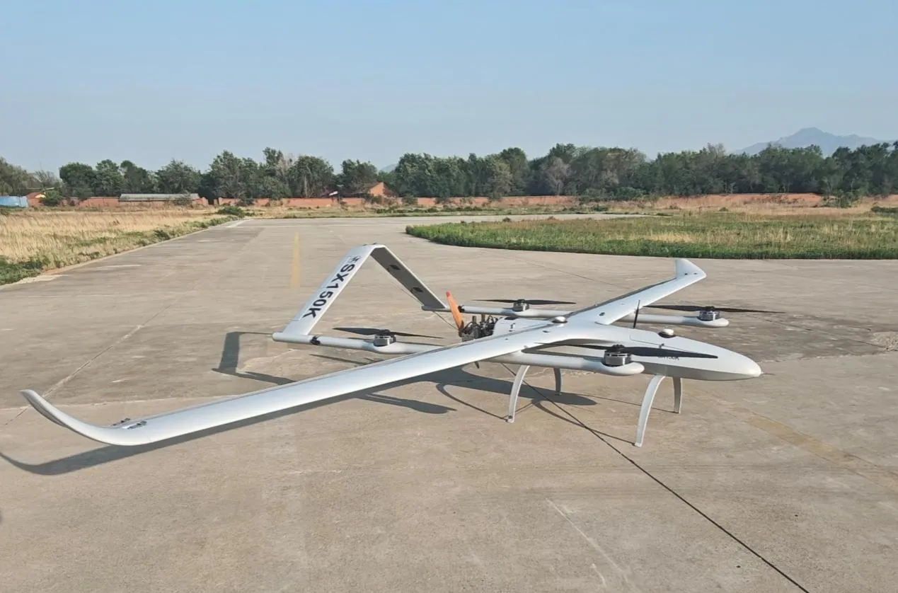
Connect long-endurance aircraft, configurable payloads, mission control and field support into an industrial drone solution designed around the work your team needs to complete.
Industrial buyers rarely need an aircraft alone. They need a repeatable way to collect data, monitor assets, move payloads, extend communications or improve site awareness. Our solution architecture begins with the mission profile, then aligns aircraft type, endurance, payload interfaces, data link, ground control and operator support. This keeps platform selection tied to measurable operational requirements rather than internal model names.
Capture repeatable geospatial data for terrain, construction, land and infrastructure planning workflows.
Collect visual, thermal or LiDAR-compatible data around remote and difficult-to-access assets.
Plan long linear missions for power lines, pipelines, transport routes and rights of way.
Support scheduled patrol, alarm verification and rapid aerial situational awareness.
Extend observation across coastal zones, ports, vessels and offshore operating areas.
Elevate compatible relay payloads to improve line-of-sight data and radio coverage.
Aircraft, payload, communications and command functions are selected as one operating system.
A controlled process links platform decisions to field outcomes, integration constraints and acceptance criteria.
Document coverage area, environment, payload, data output, endurance and deployment constraints.
Select VTOL, rotary or compact platforms with suitable payload, data-link and control interfaces.
Confirm mission planning, operator roles, data handling, safety procedures and acceptance criteria.
Provide integration, operator training, documentation and lifecycle support for the agreed configuration.
Long-endurance coverage for mapping, corridors, surveillance and communications.
Rotary platforms for industrial transport, resupply and large payload integration.
Mission planning, payload control, telemetry and multi-platform coordination.
Illustrative scenario only. This example explains a possible system configuration and acceptance approach; it does not represent a completed customer deployment or guaranteed operational result.
An industrial organization may need to coordinate mapping, inspection, security and emergency missions across several departments without fragmenting aircraft selection, training, maintenance or data access.
A recommended program could combine mission-specific VTOL, rotary or compact aircraft with a shared ground-control environment, standardized payload interfaces, operator training and lifecycle-support procedures. The final architecture remains subject to departmental requirements and system validation.
Document each department's missions, data needs, operating constraints and approval chain.
Create a common platform, payload, ground-control and support architecture.
Test mission handoffs, data access, training workflows and maintenance records.
Compare evidence against the program acceptance plan before operational use.
Before implementation, the organization should define how platform compatibility, mission approval, flight safety, data access, operator competency, maintenance traceability and cross-department governance will be evaluated.
It is a professional unmanned aircraft configuration built around repeatable business, government or infrastructure work. The system normally includes the airframe, payload, flight control, data link, ground control, operating procedures and support required for a defined mission.
Selection starts with coverage, payload, endurance, terrain, deployment space, data output and regulatory constraints. Fixed-wing VTOL platforms suit extended coverage, while rotary platforms support hovering and heavier localized payloads.
Yes. Payload, avionics, ground-control and workflow integration can be configured subject to interface, weight, power, environmental and regulatory requirements.
Technical consultation can define a representative mission profile, system configuration, demonstration scope and acceptance criteria before a larger deployment.
Share the operating area, payload, endurance, data output and deployment constraints. Our team will recommend a configuration and technical evaluation path.