
Coastal Surveillance
Monitor coastlines, approaches, remote islands and protected zones with repeatable aerial routes.
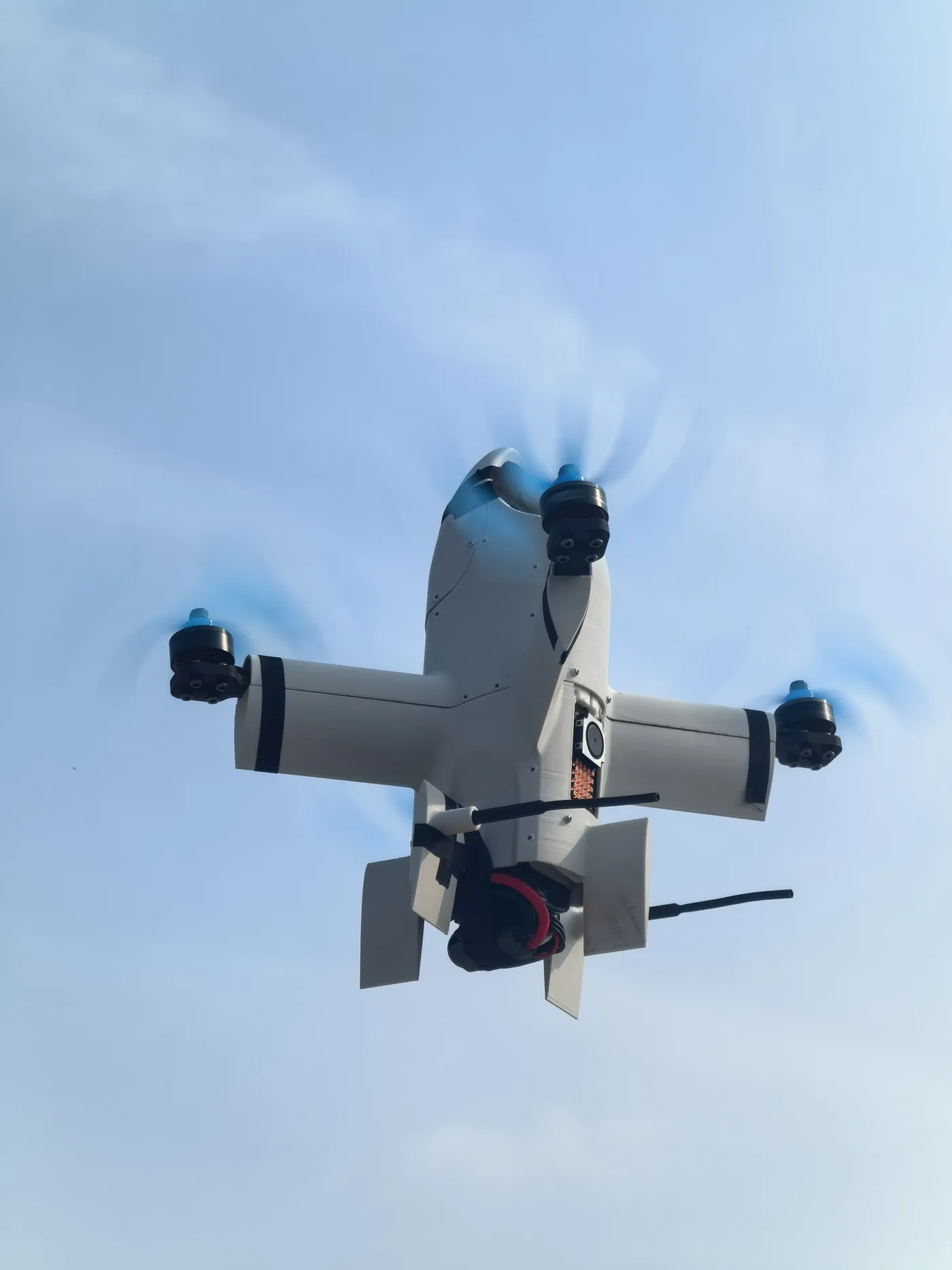
Use long-endurance VTOL platforms to extend observation, search, infrastructure monitoring and communications across coastal zones and offshore operating areas.
Coastal and offshore missions combine distance, weather, communications and recovery constraints. A maritime UAV configuration must align airframe endurance, launch and recovery method, sensor field of view, data link and the receiving command environment. Flymate VTOL platforms can be configured for runway-independent operations and compatible observation or communications payloads. AIS receivers, maritime radar and formal shipboard certification are project-specific integrations and are not presented as standard equipment.
Monitor coastlines, approaches, remote islands and protected zones with repeatable aerial routes.
Provide stand-off visual context for platforms, wind assets, vessels and remote marine infrastructure.
Support wide-area search, thermal observation and real-time situational awareness for response teams.
Extend visual coverage around port approaches, anchorages and high-value operating areas.
Coastal sectors, offshore assets and command links shape the aircraft's patrol geometry.
A controlled process links platform decisions to field outcomes, integration constraints and acceptance criteria.
Map range, operating base, recovery location, communications coverage and weather constraints.
Select compatible EO/IR or specialized payloads for the intended detection and documentation task.
Validate data-link geometry, command handover and vessel or shore-station integration.
Fly planned sectors, transmit live observations and retain approved mission data for review.
Illustrative scenario only. This example explains a possible system configuration and acceptance approach; it does not represent a completed customer deployment or guaranteed operational result.
Coastal zones, ports and offshore assets may require long-endurance observation, traceable records and reliable command across an operating environment shaped by wind, moisture, launch location and recovery constraints.
A possible system could combine a VTOL fixed-wing aircraft, EO/IR payload, ground control and a project-specified data link. Shore-based or vessel-based use, environmental suitability and recovery procedures must be verified before an operational configuration is approved.
Map observation areas, assets, hazards, command links and recovery options.
Check payload visibility, environmental limits and launch/recovery procedures.
Execute approved routes with continuous operator and link monitoring.
Review geotagged imagery, telemetry and operator notes against the plan.
Acceptance planning should define wind and environmental boundaries, launch and recovery checks, image clarity, link continuity, data security, operator intervention and the conditions for safe mission termination.
Potential missions include coastal observation, port and anchorage awareness, maritime search and rescue support, offshore asset monitoring and communications extension, subject to payload and operating approvals.
These are not presented as standard equipment. Compatible payloads may be evaluated as project-specific integrations after weight, power, interface and regulatory review.
Vessel-linked concepts can be evaluated, but safe launch, recovery, deck procedures, communications and environmental qualification must be validated for the vessel and mission.
VTOL can reduce dependence on runways and support operations from constrained coastal sites. Fixed-wing cruise supports efficient area coverage, while suitability depends on weather, recovery space and mission range.
Share the operating area, payload, endurance, data output and deployment constraints. Our team will recommend a configuration and technical evaluation path.