
Topographic Survey
Acquire consistent image or LiDAR-compatible datasets for terrain, contour and surface modeling.
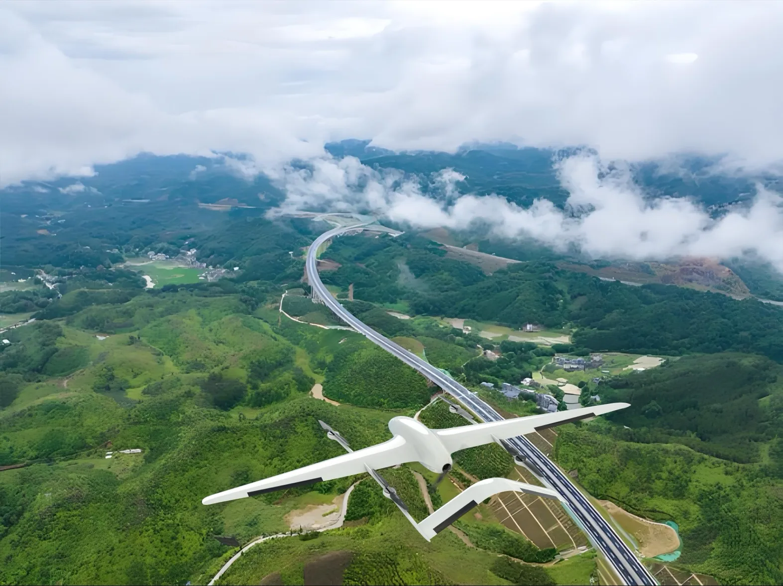
Configure long-endurance VTOL UAVs for photogrammetry, LiDAR-compatible surveying and repeatable geospatial data collection across terrain, construction and infrastructure projects.
A mapping mission should be designed backward from the required output. Orthomosaic, point-cloud, terrain-model and 3D reconstruction projects each influence payload selection, overlap, altitude, control points, positioning workflow and processing software. Our role is to provide a stable aerial platform and integration path for the selected sensor and survey process. Final accuracy depends on the complete payload, positioning, mission and processing configuration rather than the aircraft alone.
Acquire consistent image or LiDAR-compatible datasets for terrain, contour and surface modeling.
Collect geo-referenced aerial data for parcel, land-use and site-planning workflows.
Support baseline surveys, progress documentation, earthworks review and as-built context.
Capture repeatable surface data for quarry mapping, mine planning and volumetric analysis.
Mission geometry and payload data move through controlled layers before becoming a survey deliverable.
A controlled process links platform decisions to field outcomes, integration constraints and acceptance criteria.
Define orthomosaic, point cloud, terrain model, 3D model or inspection deliverables and tolerances.
Match photogrammetry or LiDAR-compatible payloads with coverage, endurance and terrain requirements.
Set boundaries, altitude, overlap, terrain-following requirements and contingency procedures.
Transfer captured data into the selected GIS, CAD or photogrammetry workflow and verify quality.
Illustrative scenario only. This example explains a possible system configuration and acceptance approach; it does not represent a completed customer deployment or guaranteed operational result.
A project team may need repeatable aerial coverage across varied terrain and a traceable path from flight planning to geospatial deliverables that can enter its existing GIS or CAD workflow.
A recommended configuration could use a long-endurance VTOL fixed-wing platform with a project-specified mapping camera or compatible LiDAR payload, supported by ground-control mission planning and complete flight records. Sensor selection and positioning workflow require project validation.
Set the survey boundary, coordinate system, output formats and quality requirements.
Configure flight lines, overlap, terrain considerations and operational constraints.
Execute supervised data capture and process imagery or point-cloud records.
Review coverage, positional evidence, completeness and export compatibility.
The acceptance plan should define coverage completeness, coordinate reference system, required resolution or accuracy, overlap, positional evidence, data integrity and delivery formats before aircraft and payload configuration is finalized.
Depending on the payload and processing stack, projects may produce orthomosaics, point clouds, digital surface or terrain models, 3D reconstructions and geo-referenced inspection imagery.
The aircraft can be configured for compatible photogrammetry cameras or LiDAR payloads, subject to payload weight, power, mechanical interface, field of view and data-interface validation.
Accuracy depends on sensor calibration, positioning method, mission altitude, image overlap, ground control, processing software, terrain and environmental conditions. It should be validated for the intended workflow.
VTOL reduces dependence on runways while the fixed-wing cruise phase supports efficient coverage of large or linear areas. Suitability still depends on site size, terrain, payload and regulatory constraints.
Share the operating area, payload, endurance, data output and deployment constraints. Our team will recommend a configuration and technical evaluation path.