
Power Lines & Towers
Capture asset imagery, thermal context, conductor routes and surrounding vegetation conditions.
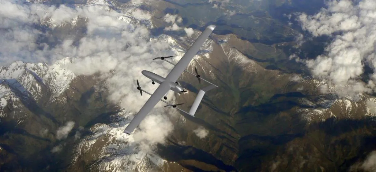
Plan long, repeatable UAV missions for power lines, pipelines, rail, roads and rights of way using VTOL coverage and configurable remote-sensing payloads.
Linear assets combine distance, changing terrain, communications constraints and multiple inspection objectives. A corridor program may need asset imagery, thermal screening, vegetation context, right-of-way mapping and rapid post-event assessment in the same operating model. VTOL fixed-wing platforms provide runway-independent coverage, while mission planning and payload integration align the aircraft with the required data product. Coverage and accuracy must be validated against the selected sensor, route and regulatory envelope.
Capture asset imagery, thermal context, conductor routes and surrounding vegetation conditions.
Monitor linear routes for visible change, access conditions and third-party activity context.
Support route mapping, embankment context, construction monitoring and post-event assessment.
Collect terrain and route data for tower networks, fiber planning and access analysis.
Corridor missions are segmented by terrain, asset density, communications and inspection priority.
A controlled process links platform decisions to field outcomes, integration constraints and acceptance criteria.
Divide the corridor by terrain, communications, access, asset density and regulatory constraints.
Define visual, thermal, mapping or LiDAR-compatible outputs for each asset segment.
Configure flight lines, terrain clearance, waypoints, handover points and contingency landing areas.
Organize repeat data for maintenance review, vegetation management and incident response.
Illustrative scenario only. This example explains a possible system configuration and acceptance approach; it does not represent a completed customer deployment or guaranteed operational result.
Power lines, pipelines, railways and road corridors extend across changing terrain and communications conditions, so a mission may need to be divided by asset density, access, data requirements and operational limits.
A possible configuration could combine a long-endurance VTOL platform, EO/IR or compatible LiDAR payload, ground-control planning and a project-validated data link. The example does not assume automated docks, satellite communications or unattended operation.
Divide the route by terrain, asset type, communications and inspection priority.
Assign required imagery, location records and review criteria to each segment.
Execute approved sectors within environmental, link and regulatory limits.
Check segment completion, data handover and items requiring follow-up review.
Before work begins, the plan should define sector-completion rules, image quality, location traceability, link checks, human review, data handover, environmental limits and applicable flight approvals.
VTOL platforms reduce runway dependence, while fixed-wing cruise supports efficient coverage across long linear assets. Platform suitability depends on route length, payload, terrain, wind, communications and operating approvals.
Typical missions include power transmission and distribution routes, pipelines, road and rail corridors, rights of way, telecommunications routes and associated vegetation or access areas.
Mission planning can support repeatable routes and waypoints. Consistent comparison also requires stable sensor settings, environmental controls and data-management procedures.
The UAV system focuses on data acquisition and mission control. Analytics can be integrated with compatible customer or third-party processing platforms according to project requirements.
Share the operating area, payload, endurance, data output and deployment constraints. Our team will recommend a configuration and technical evaluation path.