
Remote Visual Inspection
Capture detailed imagery of elevated, remote or difficult-to-access structures from controlled stand-off positions.
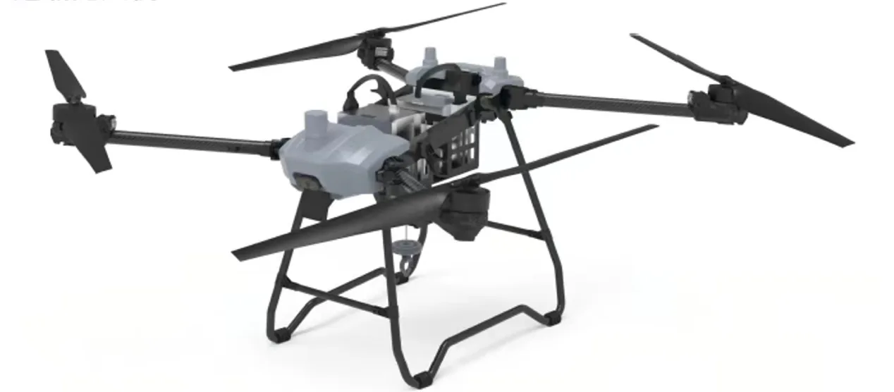
Build a safer, repeatable aerial data workflow for structures, facilities and infrastructure using configurable EO/IR and LiDAR-compatible UAV payloads.
Effective inspection begins with the defect, condition or operational question the asset team must answer. That determines sensor type, stand-off distance, viewing angle, route geometry, repeatability and reporting format. Flymate platforms provide configurable payload capacity, stable flight control and mission planning for visual and remote-sensing workflows. Contact-based testing, gas detection and confined-space inspection require specialized equipment and are not presented as standard capabilities.
Capture detailed imagery of elevated, remote or difficult-to-access structures from controlled stand-off positions.
Integrate compatible thermal sensors for electrical, envelope and equipment condition screening.
Use image or LiDAR-compatible capture to support 3D context, documentation and change comparison.
Rapidly collect aerial evidence after storms, fire, flooding or operational incidents.
Every flight view must connect to a defined asset question, review method and maintenance decision.
A controlled process links platform decisions to field outcomes, integration constraints and acceptance criteria.
Identify target assets, defect types, required views, data quality and safety constraints.
Select compatible visual, thermal or LiDAR payloads and confirm power, mounting and control interfaces.
Establish stand-off distances, angles, repeat points, exclusion zones and contingency actions.
Organize geo-referenced evidence for engineering, maintenance or asset-management workflows.
Illustrative scenario only. This example explains a possible system configuration and acceptance approach; it does not represent a completed customer deployment or guaranteed operational result.
Elevated, dispersed or difficult-to-access industrial assets may require repeatable visual and thermal data collection while keeping engineering interpretation and final maintenance decisions with qualified personnel.
Depending on the structure and standoff requirement, a rotary or VTOL platform could be configured with EO/IR payloads, ground control and project-specified data storage. Sensor suitability, safe distance and image readability must be validated for the site.
Identify inspection surfaces, observation questions, access limits and safety boundaries.
Select the platform, payload, flight path and data-handling procedure.
Conduct operator-supervised flights and maintain geotagged mission records.
Package observations for engineering assessment and documented disposition.
Acceptance criteria should cover image coverage and readability, location traceability, sensor checks, flight-safety boundaries, human review responsibilities, data security and the format used to transfer records into the owner's maintenance process.
Typical stand-off workflows include buildings, bridges, towers, power infrastructure, pipelines, industrial facilities, construction areas and remote site assets. The final configuration depends on access, sensor and regulatory requirements.
Compatible EO/IR payloads can be integrated after confirming payload mass, power, mechanical interface, control protocol and environmental requirements.
No standard contact non-destructive-testing capability is claimed. The current offering focuses on aerial visual, thermal and compatible remote-sensing data acquisition.
Waypoint and route planning can support repeat capture. Consistent results require controlled flight parameters, sensor settings, environmental conditions and data-management procedures.
Share the operating area, payload, endurance, data output and deployment constraints. Our team will recommend a configuration and technical evaluation path.