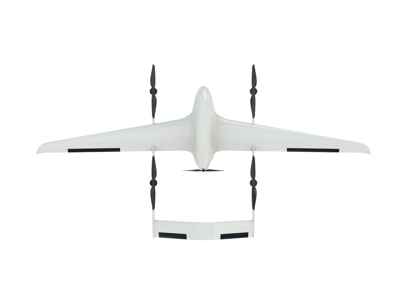
Long-Endurance UAVs
for Civil Applications
Field-proven VTOL fixed-wing platforms and AI command systems adapted for disaster response, emergency logistics, infrastructure monitoring, and environmental surveillance.
Disaster Response
Rapid deployment for earthquake, flood, and wildfire response. VTOL platforms provide immediate aerial assessment without requiring runway infrastructure.
Search & Rescue
Thermal imaging payloads enable effective nighttime and low-visibility search operations. Long endurance enables sustained search patterns over large areas.
Emergency Logistics
The 150kg-class platform delivers up to 30kg of emergency supplies to disaster zones inaccessible by ground vehicles.
Forest Fire Prevention
Persistent aerial monitoring of high-risk forest areas with thermal and EO sensors. Early detection and real-time fire spread monitoring.
Infrastructure Inspection
High-resolution aerial inspection of power lines, pipelines, bridges, and other critical infrastructure without disrupting operations.
Environmental Monitoring
Atmospheric sampling, water quality monitoring, and environmental surveying with specialized sensor payloads.
Pipeline & Power Line Inspection
Automated inspection of oil and gas pipelines, high-voltage power lines, and transmission towers with high-resolution EO/IR sensors. Reduces inspection costs and personnel safety risks.
Maritime Patrol & Sea Surveillance
Long-endurance VTOL platforms for maritime patrol, illegal fishing detection, sea surface search and rescue, and offshore infrastructure monitoring.
Aerial Mapping & 3D Modeling
High-precision photogrammetry and LiDAR mapping for urban planning, agricultural land assessment, and post-disaster damage evaluation. Compatible with standard GIS workflows.
Weather Intervention
Specialized payload integration for cloud seeding and weather modification operations. VTOL platforms deliver silver iodide or liquid nitrogen payloads to target cloud formations at altitude.
Tell Us Your
Civil Application Needs
Our civil applications team provides tailored UAV solution design for government agencies, NGOs, and emergency services. Submit your inquiry and we'll respond within 24 hours.