VTOL ISR Drone Sensor Selection: EO/IR, SAR Radar, and LiDAR — Which Payload Fits Your Mission?
Choosing the wrong sensor payload for an ISR mission is one of the most expensive mistakes a procurement officer can make. This guide breaks down EO/IR cameras, SAR radar, and LiDAR — their strengths, limitations, and the mission profiles each serves best on long-endurance VTOL platforms.
The Sensor Payload Decision: Why It Matters More Than the Platform
In ISR procurement, the airframe often receives more attention than the payload — yet the sensor determines what intelligence you can actually collect. A long-endurance VTOL platform carrying the wrong sensor for its mission profile delivers nothing operationally useful, regardless of how many hours it can stay airborne.
This guide examines the three primary sensor categories deployed on VTOL fixed-wing ISR platforms: Electro-Optical/Infrared (EO/IR), Synthetic Aperture Radar (SAR), and LiDAR. Each has distinct operational envelopes, and understanding those boundaries is essential for matching payload to mission.
Sensor Category 1: Electro-Optical / Infrared (EO/IR)
What It Does
EO/IR payloads combine a daylight optical camera (EO) with a thermal infrared sensor (IR) in a stabilized gimbal. The EO channel provides high-resolution visual imagery for target identification; the IR channel detects heat signatures for nighttime operations, personnel detection, and vehicle tracking.
Operational Strengths
- High-resolution visual identification: Modern EO sensors achieve sufficient resolution at 3,000–5,000m altitude to identify vehicle types and personnel activity
- Thermal detection at range: IR sensors detect human body heat signatures at 2,000–4,000m, enabling nighttime and low-visibility operations
- Real-time video: Continuous video feed enables dynamic target tracking and pattern-of-life analysis
- Operator familiarity: EO/IR is the most widely understood sensor type among intelligence analysts
Operational Limitations
- Weather dependency: Heavy rain, dense fog, and low cloud cover significantly degrade EO/IR performance
- Camouflage vulnerability: Thermal-insulating materials can mask IR signatures; optical camouflage defeats EO
- Limited penetration: Cannot see through vegetation canopy or building structures
Best Mission Profiles
EO/IR is the default choice for most tactical ISR missions: border surveillance, maritime patrol, urban area monitoring, convoy escort, and search and rescue. It provides the best balance of cost, operator usability, and intelligence value for standard operational requirements.
Sensor Category 2: Synthetic Aperture Radar (SAR)
What It Does
SAR uses microwave radar pulses and the platform's forward motion to synthesize a large effective antenna aperture, producing high-resolution radar imagery regardless of weather conditions or time of day. Unlike optical sensors, SAR penetrates clouds, rain, smoke, and light vegetation.
Operational Strengths
- All-weather, day/night operation: SAR performance is unaffected by weather — a critical advantage for persistent surveillance in tropical, arctic, or monsoon environments
- Ground Moving Target Indication (GMTI): SAR-GMTI modes detect and track moving vehicles through cloud cover and at night
- Foliage penetration (FOPEN): Lower-frequency SAR (P-band, L-band) can detect objects beneath vegetation canopy — essential for jungle border surveillance
- Change detection: Repeat-pass SAR enables precise change detection, identifying new construction, vehicle movements, and activity patterns
Operational Limitations
- Higher cost and weight: SAR systems are significantly more expensive and heavier than EO/IR payloads
- Specialist interpretation: SAR imagery requires trained analysts — it is not intuitive for operators accustomed to optical imagery
- Speckle noise: SAR imagery has characteristic speckle noise that complicates automated target recognition
Best Mission Profiles
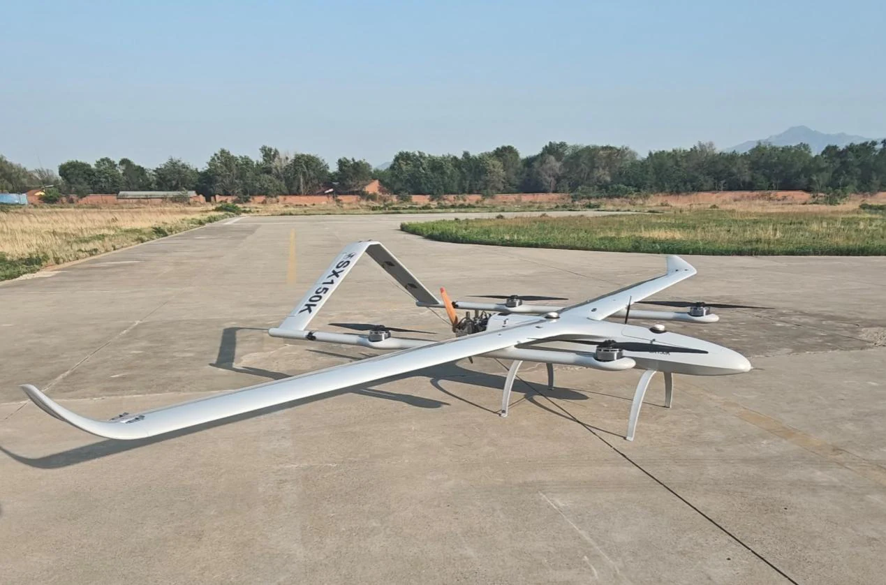
SAR is the correct choice when weather reliability is non-negotiable: persistent maritime domain awareness, jungle border surveillance, Arctic operations, and strategic area monitoring where cloud cover would otherwise create intelligence gaps. The SG 150kg-class platform's payload capacity accommodates the heavier SAR systems required for effective GMTI performance.
Sensor Category 3: LiDAR
What It Does
LiDAR (Light Detection and Ranging) emits laser pulses and measures return times to generate precise three-dimensional point cloud data. Unlike EO/IR or SAR, LiDAR's primary output is geometric — precise elevation models and 3D structural data rather than imagery.
Operational Strengths
- Centimeter-level elevation accuracy: LiDAR produces digital elevation models (DEMs) accurate to 5–15cm — essential for precision mapping and infrastructure assessment
- Vegetation penetration: Multiple-return LiDAR can distinguish ground surface from vegetation canopy, enabling terrain mapping in forested areas
- Structural detail: Building footprints, infrastructure dimensions, and terrain features are captured with geometric precision unavailable from optical sensors
Operational Limitations
- No imagery output: LiDAR does not produce photographic imagery — it cannot identify personnel, vehicle types, or activity
- Weather sensitivity: LiDAR performance degrades in heavy rain and dense fog
- Specialized processing: Point cloud data requires specialized software and trained operators to process and interpret
Best Mission Profiles
LiDAR is primarily a survey and mapping tool rather than a surveillance sensor. Its ISR applications are specialized: post-disaster terrain assessment, infrastructure inspection, precision mapping for operational planning, and change detection in complex terrain. It is typically deployed alongside EO/IR rather than as a standalone ISR sensor.
Comparative Decision Matrix
| Criterion | EO/IR | SAR | LiDAR |
|---|---|---|---|
| All-weather performance | Limited | Excellent | Moderate |
| Night operations | Good (IR) | Excellent | Limited |
| Moving target detection | Good | Excellent (GMTI) | Poor |
| 3D mapping accuracy | Poor | Moderate | Excellent |
| Vegetation penetration | None | Good (L/P-band) | Good |
| Operator training requirement | Low | High | High |
| Relative cost | $ | $$$ | $$ |
| Platform weight requirement | Low | High | Moderate |
Multi-Sensor Integration: The Operational Ideal
For high-value persistent ISR missions, the optimal solution is not a single sensor but a multi-sensor payload that combines EO/IR with SAR or LiDAR. The SG 150kg-class platform's 30kg payload capacity enables true multi-sensor integration:
- EO/IR + SAR: Provides all-weather surveillance with visual confirmation capability — the EO/IR confirms targets identified by SAR GMTI
- EO/IR + LiDAR: Combines visual intelligence with precision terrain mapping — essential for operational planning and infrastructure assessment
The SG GCS supports simultaneous display and recording of multiple sensor feeds, enabling analysts to correlate data from different sensors in real time.
Procurement Recommendations
For most ISR procurement requirements, the decision framework is straightforward:
- Standard tactical surveillance (border, maritime, urban): EO/IR is sufficient and cost-effective
- Persistent surveillance in adverse weather environments: Add SAR capability
- Jungle or Arctic border surveillance: SAR with FOPEN capability is essential
- Precision mapping and infrastructure assessment: LiDAR
- Strategic persistent surveillance: Multi-sensor EO/IR + SAR
Contact the Star United Flight Control ISR systems team to discuss specific sensor payload configurations for your operational requirements.