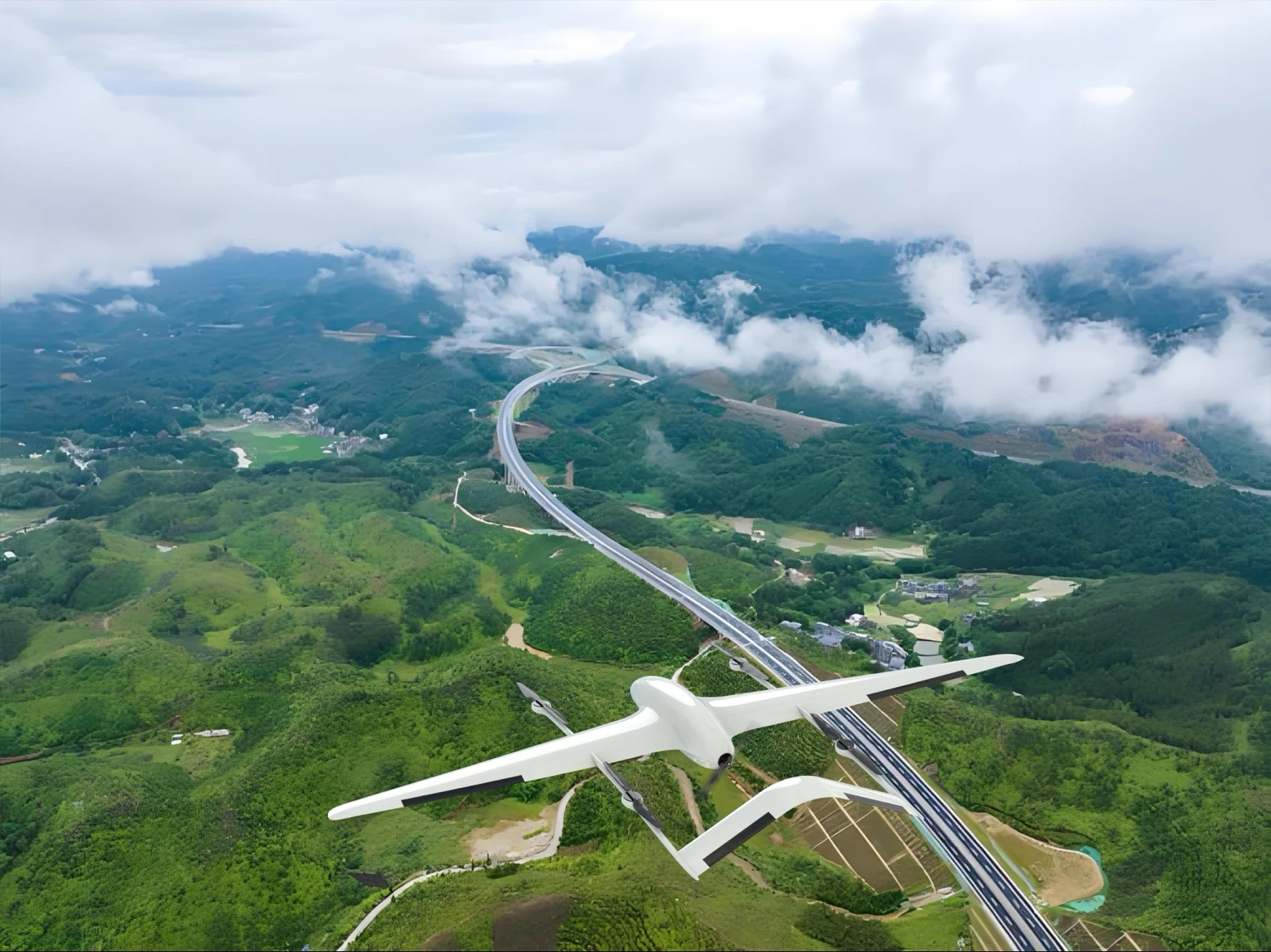
UAV Systems for Civil Emergency Response: From Disaster Assessment to Logistics Delivery
When disaster strikes, the first 72 hours are critical. UAV systems with long endurance, rapid deployment capability, and meaningful payload capacity are transforming how emergency management agencies respond to earthquakes, floods, wildfires, and other large-scale emergencies.
The Golden 72 Hours
Emergency management professionals know the "golden 72 hours" — the critical window after a major disaster when the probability of finding survivors alive decreases dramatically. In those first three days, the ability to rapidly assess damage, locate survivors, and deliver critical supplies can mean the difference between life and death for thousands of people.
Traditional emergency response tools — helicopters, ground vehicles, satellite imagery — each have significant limitations in this critical window. Helicopters are expensive, require trained pilots, and are often unavailable in the immediate aftermath of a disaster. Ground vehicles cannot access areas where roads are destroyed. Satellite imagery has resolution and revisit time limitations that make it inadequate for real-time operational support.
Long-endurance VTOL UAV systems address these limitations directly, providing rapid deployment, persistent coverage, and meaningful payload capacity without the cost and availability constraints of manned aviation.Application 1: Rapid Damage Assessment
The first priority after a major disaster is understanding the scope and geography of damage. Traditional ground-based assessment is slow, dangerous, and limited in coverage. Aerial assessment from manned aircraft is expensive and often unavailable in the immediate aftermath.
The SG SX30K VTOL platform deploys from any flat surface within minutes, requires no runway, and can be operated by personnel with minimal training. With a 3+ hour endurance and 5kg EO/IR payload, a single SX30K can survey a 50km² disaster zone in a single sortie — providing the aerial assessment that ground-based teams cannot.
Key capabilities for damage assessment:- High-resolution EO imaging for structural damage documentation
- Thermal imaging for fire detection and heat signature mapping
- Real-time video streaming to emergency operations centers
- Automated mapping and 3D model generation with LiDAR payloads
Case Application: Earthquake Response
In an earthquake scenario, the SX30K would be deployed within 30 minutes of the event to:
- Survey the affected area for collapsed structures
- Identify road damage and access route availability
- Locate survivors using thermal imaging
- Provide real-time video to the incident command post
This information — available within 2–3 hours of the event — enables emergency managers to prioritize resource deployment and direct rescue teams to the highest-priority locations.
Application 2: Search and Rescue
Search and rescue operations in large, complex environments — mountain wilderness, flooded plains, collapsed urban structures — are among the most resource-intensive emergency response activities. Traditional ground search teams cover terrain slowly and at significant risk to searchers. Helicopter searches are expensive and limited by fuel endurance.
The SG 30kg-class VTOL platform, with its 5-hour endurance and 5kg payload capacity, provides persistent aerial search capability that transforms SAR operations:
Thermal Imaging Search: The 30kg-class platform equipped with a thermal imaging payload can detect human body heat signatures through vegetation, in low-light conditions, and in complex terrain — covering search areas that would take ground teams days in a matter of hours. Acoustic Detection: Specialized acoustic payload packages can detect calls for help, heartbeats, or other survivor signals from altitudes that provide wide area coverage. Survivor Communication: Lightweight radio relay payloads enable two-way communication with survivors in areas beyond ground radio range. Precision Location: When a survivor is located, the platform's GPS coordinates provide precise location data for rescue team navigation.Operational Advantage: The 5-Hour Endurance Factor
A helicopter conducting SAR operations must refuel every 2–3 hours, requiring a fuel cache near the search area or return to base. The 30kg-class VTOL platform's 5-hour endurance enables continuous coverage of a search area through an entire operational shift without refueling interruption — maintaining persistent eyes on the search area that helicopter operations cannot match.
Application 3: Emergency Logistics Delivery
When roads are destroyed, bridges are down, and ground access is impossible, the ability to deliver critical supplies by air becomes essential. Traditional helicopter logistics are expensive and limited by availability. Small commercial drones have insufficient payload capacity for meaningful supply delivery.
The SG 150kg-class VTOL platform addresses this gap with:
- 30kg payload capacity: Sufficient for meaningful medical supplies, food, water, or equipment
- 7-hour endurance: Enables round-trip delivery missions over extended distances
- VTOL deployment: No runway required — deploys from any flat surface
- Hybrid power: Electric VTOL + fuel cruise for maximum range and endurance
- Medical supplies and medications (10–15kg per sortie)
- Emergency food and water (20–25kg per sortie)
- Communication equipment (5–10kg per sortie)
- Search and rescue equipment (15–20kg per sortie)
Application 4: Forest Fire Detection and Monitoring
Forest fires represent one of the most challenging emergency response scenarios — rapidly evolving, covering vast areas, and dangerous for manned aircraft operations. UAV systems provide persistent monitoring capability that enables early detection and real-time fire spread tracking.
The SG 150kg-class platform, with its 7-hour endurance and multi-sensor payload capability, provides:
Early Detection: Thermal imaging sensors detect heat signatures from developing fires before they become visible — enabling suppression before the fire spreads. Real-Time Spread Monitoring: Continuous aerial monitoring tracks fire perimeter evolution, enabling incident commanders to predict spread direction and pre-position suppression resources. Safe Operations: UAV operations in smoke-filled, high-temperature environments that would be dangerous for manned aircraft. Night Operations: Thermal imaging enables continuous monitoring through the night, when fires often spread most rapidly.Application 5: Infrastructure Inspection
Post-disaster infrastructure inspection — power lines, bridges, dams, pipelines — is essential for restoring services and identifying secondary hazards. Traditional inspection requires ground teams or manned aircraft, both of which are slow, expensive, and potentially dangerous in post-disaster environments.
The SG SX30K and 30kg-class platforms provide:
- High-resolution visual inspection of power line damage
- Thermal imaging for electrical fault detection
- Structural inspection of bridges and buildings
- Pipeline integrity assessment
Procurement Considerations for Emergency Management Agencies
When evaluating UAV systems for civil emergency response, procurement officers should prioritize:
- Deployment time: How quickly can the system be operational from transport to first flight?
- Operator training: Can non-specialist emergency personnel operate the system effectively?
- Endurance at operational payload: Not empty endurance — endurance carrying the sensor payload
- All-weather capability: Performance in rain, wind, and low visibility
- Maintenance requirements: Can the system be maintained with organic personnel?
The SG VTOL series is designed to meet all five criteria, with one-key takeoff and landing, minimal operator training requirements, and field-maintainable modular design.
Contact our civil applications team to discuss specific emergency response requirements and platform selection.