
Terrain-Obstructed Networks
Place an elevated node above ridgelines, structures or vegetation that limit direct line of sight.
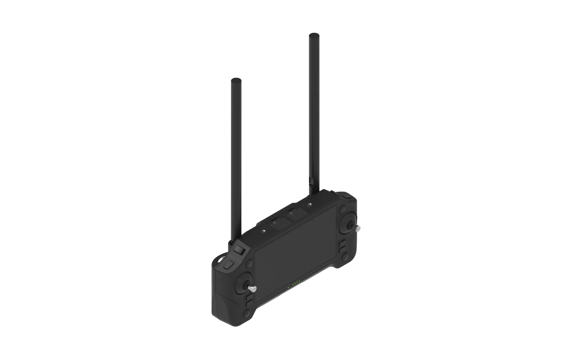
Elevate compatible radio, IP or data-link payloads above terrain and obstacles to extend line-of-sight communications across remote, emergency and mission-critical environments.
Communication gaps are often caused by terrain, buildings, vegetation or insufficient antenna height. A UAV can position a compatible relay payload above those obstructions and connect field teams, vehicles, sensors or unmanned systems. The final design depends on frequency, data rate, payload mass, power, antenna geometry, network protocol and mission duration. Specific MANET, mesh or frequency-band support is configured only when the required communications equipment is defined.
Place an elevated node above ridgelines, structures or vegetation that limit direct line of sight.
Provide a rapidly deployable airborne link while ground networks are unavailable or damaged.
Extend telemetry, sensor data or operational communications across dispersed work areas.
Support data exchange between ground teams, vehicles, command stations and unmanned systems.
An airborne relay improves line-of-sight geometry between separated teams, vehicles and sensors.
A controlled process links platform decisions to field outcomes, integration constraints and acceptance criteria.
Define participants, terrain, obstructions, data types, range and required link availability.
Confirm radio, IP, antenna, payload, power and cooling requirements for integration.
Set orbit or hold position, altitude, endurance, contingency actions and command link.
Validate throughput, latency, handover, interference resilience and operational procedures in context.
Illustrative scenario only. This example explains a possible system configuration and acceptance approach; it does not represent a completed customer deployment or guaranteed operational result.
Terrain obstruction or damaged ground infrastructure may interrupt line-of-sight communication between field nodes and a command location, creating a need for a temporary elevated network position.
A project-specific setup could use a free-flying VTOL or rotary platform carrying a customer-defined radio or data-link payload, antenna and power interface, supervised through a ground-control station. No tethered operation, frequency band or proprietary protocol is assumed.
Identify endpoints, terrain obstruction, coverage priorities and interface requirements.
Bench-test radio, antenna, power, thermal and data-security interfaces.
Fly an approved station-keeping or orbit profile under operator supervision.
Record link evidence, monitor aircraft limits and complete safe recovery.
The acceptance framework should define endpoint compatibility, link continuity, payload power and thermal limits, flight safety, encryption requirements, lost-link behavior, mission duration and recovery procedures.
It carries compatible radio, IP or data-link equipment to an elevated position, improving line-of-sight geometry between ground teams, vehicles, sensors, control stations or other unmanned systems.
Support depends on the selected customer radio and payload. Frequency, protocol, data rate, antennas, power and interfaces must be defined and validated for each project.
A rapidly deployed airborne node can help extend communications when terrain or damaged infrastructure limits ground coverage, subject to the available radio network and operating approvals.
No tethered capability is claimed as standard. The current solution focuses on free-flying UAV platforms with project-specific communications payload integration.
Share the operating area, payload, endurance, data output and deployment constraints. Our team will recommend a configuration and technical evaluation path.