
Scheduled Aerial Patrol
Fly repeat routes across fence lines, remote sectors, access roads and high-value zones.
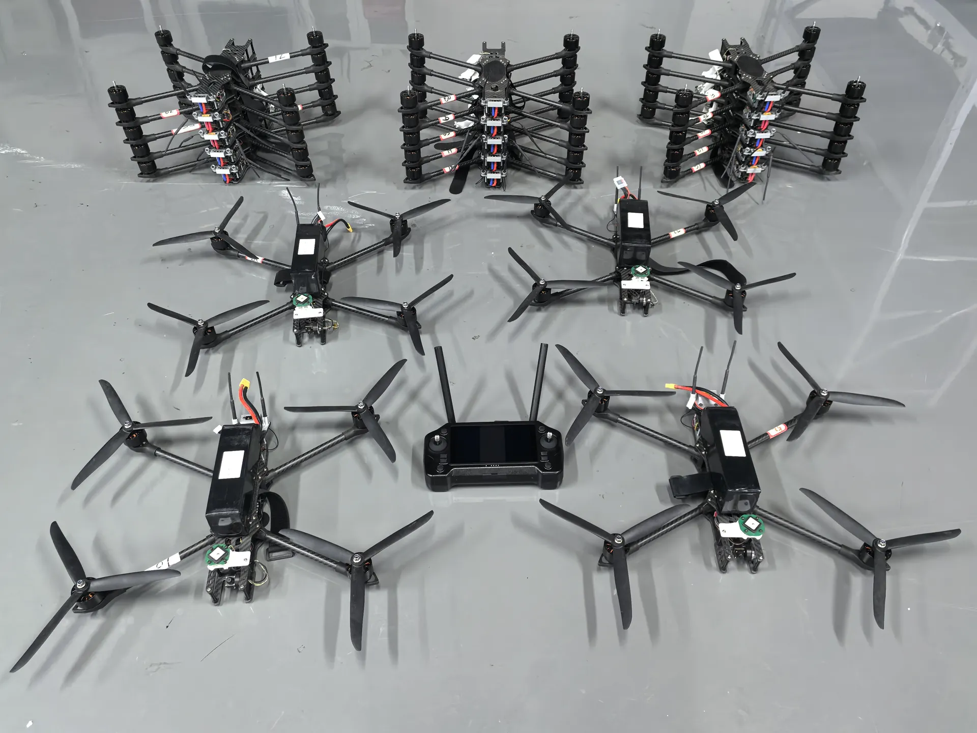
Support scheduled patrols, alarm verification and rapid aerial response across industrial sites, energy facilities, borders and other extended perimeters.
Large sites contain blind spots, difficult terrain and long travel times between an alarm and a verified response. Aerial patrol systems add a mobile observation layer that can follow planned routes or be dispatched to a point of interest. The current Flymate approach is operator-supervised and can integrate visual or thermal payloads, live telemetry and mission-control workflows. It does not depend on unverified claims of fully autonomous docking or unattended operation.
Fly repeat routes across fence lines, remote sectors, access roads and high-value zones.
Send a UAV to a reported location and provide live aerial context before ground teams arrive.
Support security monitoring around power, water, transport, warehouse and industrial sites.
Extend observation across terrain that is slow or hazardous for conventional patrols.
Planned routes and rapid tasking create a mobile observation layer around fixed security infrastructure.
A controlled process links platform decisions to field outcomes, integration constraints and acceptance criteria.
Identify sectors, blind spots, alarm points, launch areas and communications constraints.
Create planned routes, observation points, sensor modes and operator escalation rules.
Use visual or thermal context, live video and geo-referenced observations to support response.
Retain authorized imagery, flight logs and incident notes according to the customer security policy.
Illustrative scenario only. This example explains a possible system configuration and acceptance approach; it does not represent a completed customer deployment or guaranteed operational result.
A large industrial site may need an aerial view after a fixed sensor alarm while preserving human judgment, approved flight corridors and clear rules for escalation and evidence retention.
A recommended setup could include a rapidly deployable aircraft, EO/IR payload and ground-control system, with a project-specific alarm handoff where integration is feasible. Every patrol and alarm-verification flight remains operator supervised; no automated dock is assumed.
Define patrol sectors, safe routes, sensitive zones and no-fly conditions.
Document how an alarm is reviewed, assigned and escalated by operators.
Task a supervised flight and stream or record the approved EO/IR view.
Archive flight evidence, operator decisions and any follow-up action.
The project should define patrol coverage, the target window from alarm handoff to aerial observation, image quality, operator takeover, record retention, data security, integration tests and conditions that require a mission to be suspended.
A patrol drone is a friendly aerial sensor used to observe a site and support security teams. A counter-UAS system is designed to detect, track or respond to potentially hostile unmanned aircraft. The missions and system architecture are different.
Pre-planned waypoint routes and repeat missions can be configured. The current solution is presented as operator-supervised autonomy and does not claim a fully unattended docking system.
Compatible thermal payloads can support low-light observation and heat-signature verification after integration and mission validation.
Potential sites include industrial plants, energy facilities, warehouses, transport hubs, ports, border sectors and other large or difficult-to-patrol areas, subject to local operating rules.
Share the operating area, payload, endurance, data output and deployment constraints. Our team will recommend a configuration and technical evaluation path.